

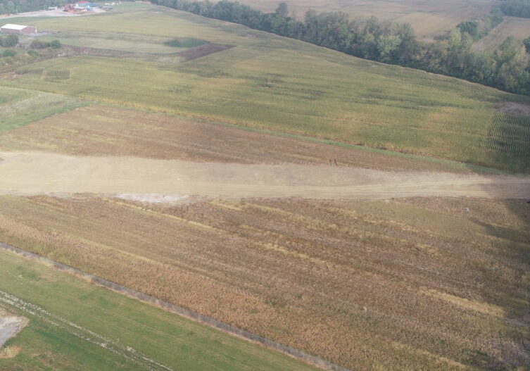
Transmission tower footprint
Flown by Andrew Westfall, Agriculture & Natural Resources Educator, Purdue Extension - White County
The construction footprint of two newly installed power transmission towers are shown here.
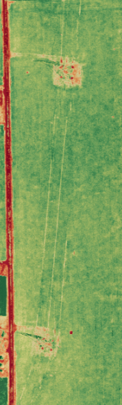
 Field drainage tile was damaged during installation, and this orthomosaic map shows water damage. Using software to conduct geospatial analysis, the farmer was able to quantify the damage.
 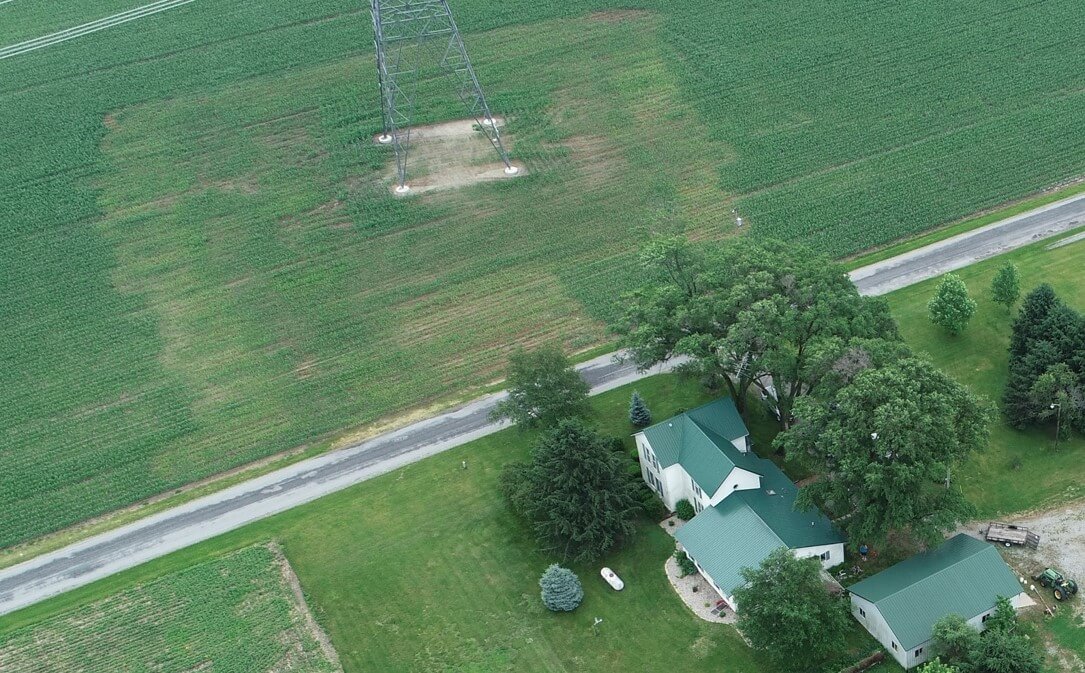 Here, you can see the result of soil compaction during construction
 - Orange area = 3.27 acres (too wet, not planted)
- Purple area = 1.52 acres (plant roots too wet)
- Total = 4.79 acres
We followed up during the 2019 growing season to see if compaction was still affecting crops. This was mapped using RGB, VARI, NDVI, and NDRE to compare indices.
 NDRE
NDRE 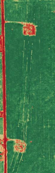 NDVI
NDVI 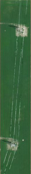 RGB
RGB 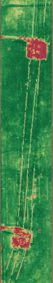 VARI
VARI Structural Examples
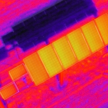
The drone pilot used a thermal camera to check the functionality of the solar panel array...

A local, Jasper County school wanted flights to document infrastructure repairs supported by...
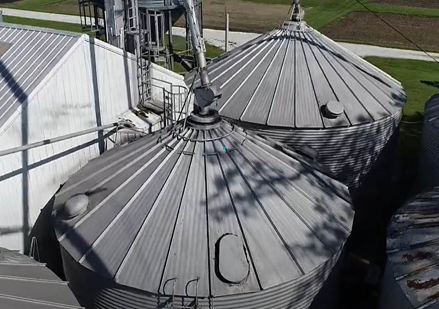
This video was collected to examine an aging grain system and assess what repairs or upgrades...
The construction footprint of two newly installed power transmission towers are shown here...
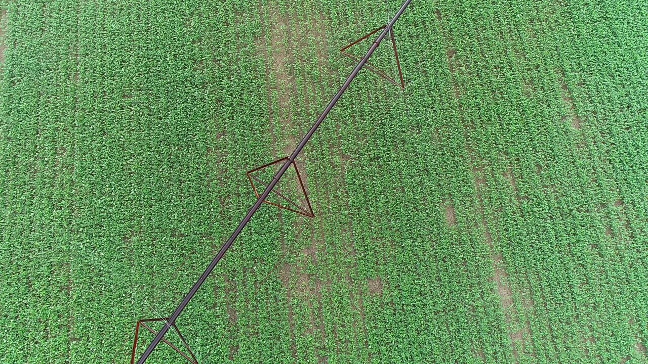
UAVs can serve as a quick method to detect anomalies in irrigation systems, such as this center...
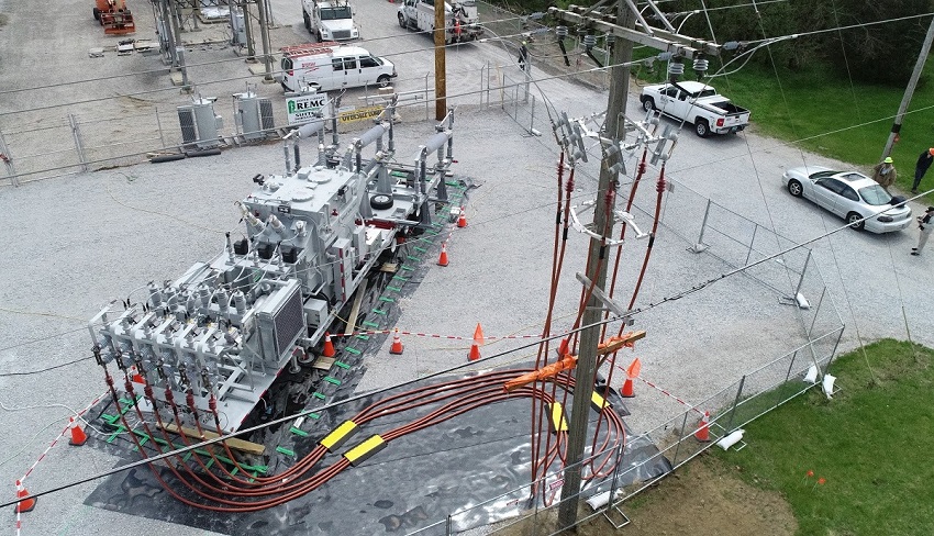
Purdue Extension partnered with Newton County REMC to photograph substation renovation and...
A subsurface concrete drain pipe was installed in 2019 to provide an outlet from a new retention...
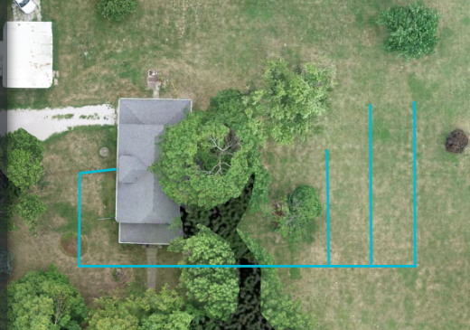
Before the installation of a new septic tank and finger system, this homeowner was curious about...
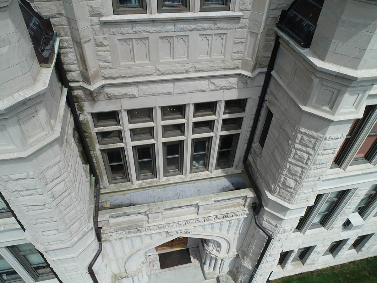
We were able to locate leaky windows on the second floor of this courthouse using a UAV. We found...