

Natural Resources
UAV Benefits
- Establish a conservation plan
- Identify problem areas in a particular ecosystem
- Locate and quantify the damage from invasive species
- Identify disease in canopy coverage
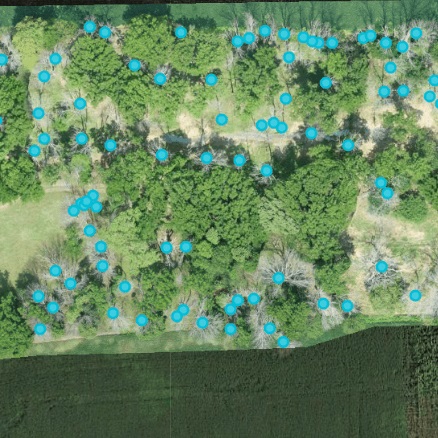
- Geotag trees for timber removal or to save neighboring trees
- Faster, safe determination of canopy structure than with human climbers
- Assess existing conservation areas for biodiversity
- Monitor and modify soil conservation practices with reduced environmental impact
- Check surface water for potential contaminants
UAV Challenges
Forests: Flying a UAV near timber stands is inherently risky. Signal strength also weakens within a forested area.
- Tip: Fly above the canopy when possible and choose low-density areas.
Water: Most UAVs are not waterproof and a crash could destroy the aircraft.
- Tip: Fly around water – not over it – when possible.
Natural Resources Examples

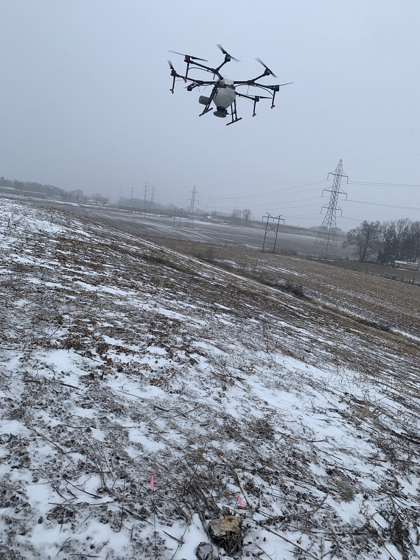
A demonstration trial of methods to control the invasive winged burning bush was conducted in the...
This project was completed at Ivy Tech in Lafayette, Indiana and in collaboration with Ivy Tech...
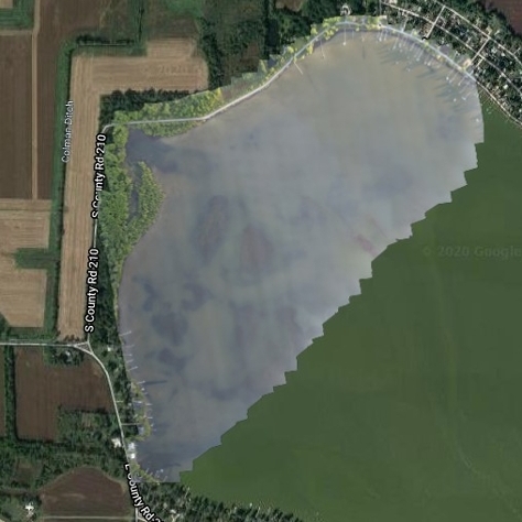
Bass Lake is a 1,345-acre lake in Starke County, Indiana and has problems with invasive Eurasian...
This project was initiated to create a State Parks Virtual Field Trip program, geared for use in...
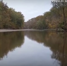
Common reed (Phragmites australis) is an Indiana native, but invasive, weed. It’s...
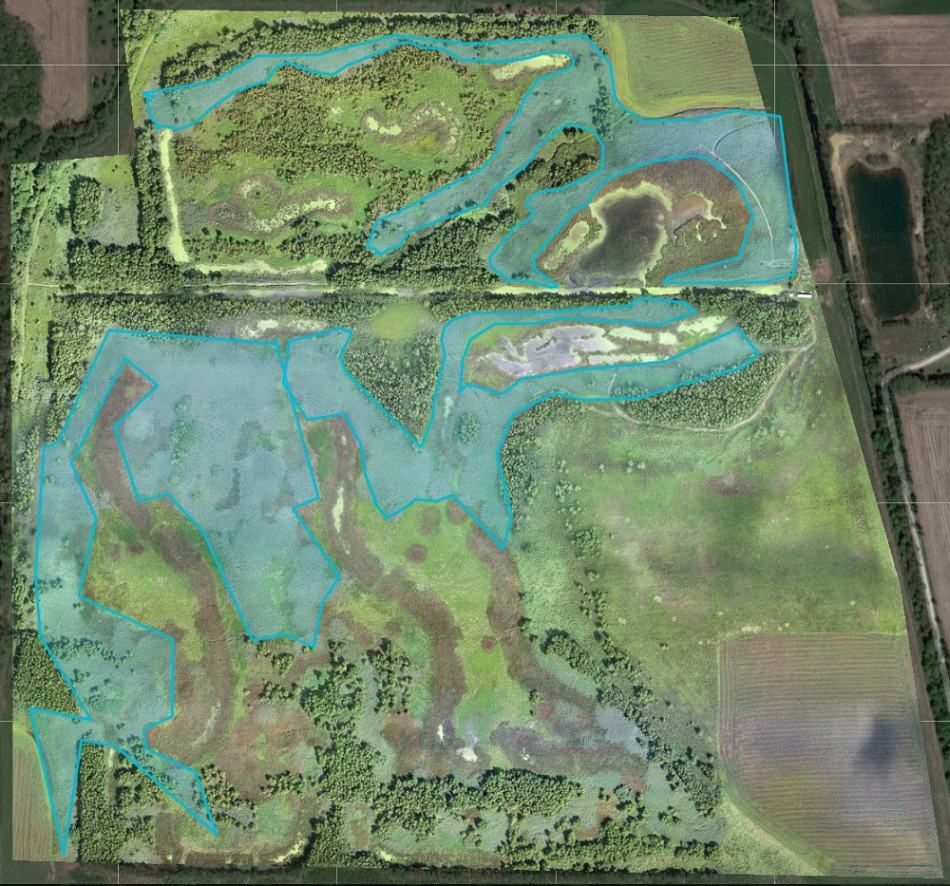
UAV use in wooded areas can identify invasive plant species for removal along as well as track...
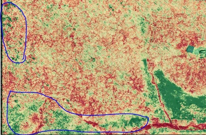
Invasive species control flights provided wood rating for EQIP application in partnership Ripley...
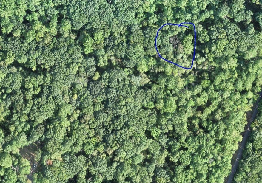
UAVs were used to locate known trees at Southeast Purdue Agricultural Center (SEPAC) affected by...
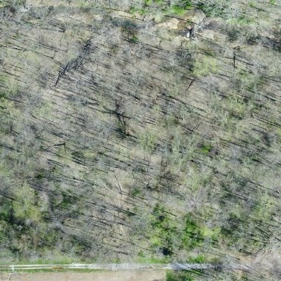
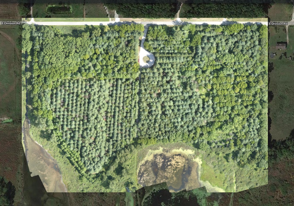
The Emerald Ash Borer killed all dead trees in this orthomosaic image. This woodlot is...
To explore UAV uses in forestry applications, several forests were flown over the course of 2019....