

Detecting tree stress after invasive plant herbicide application
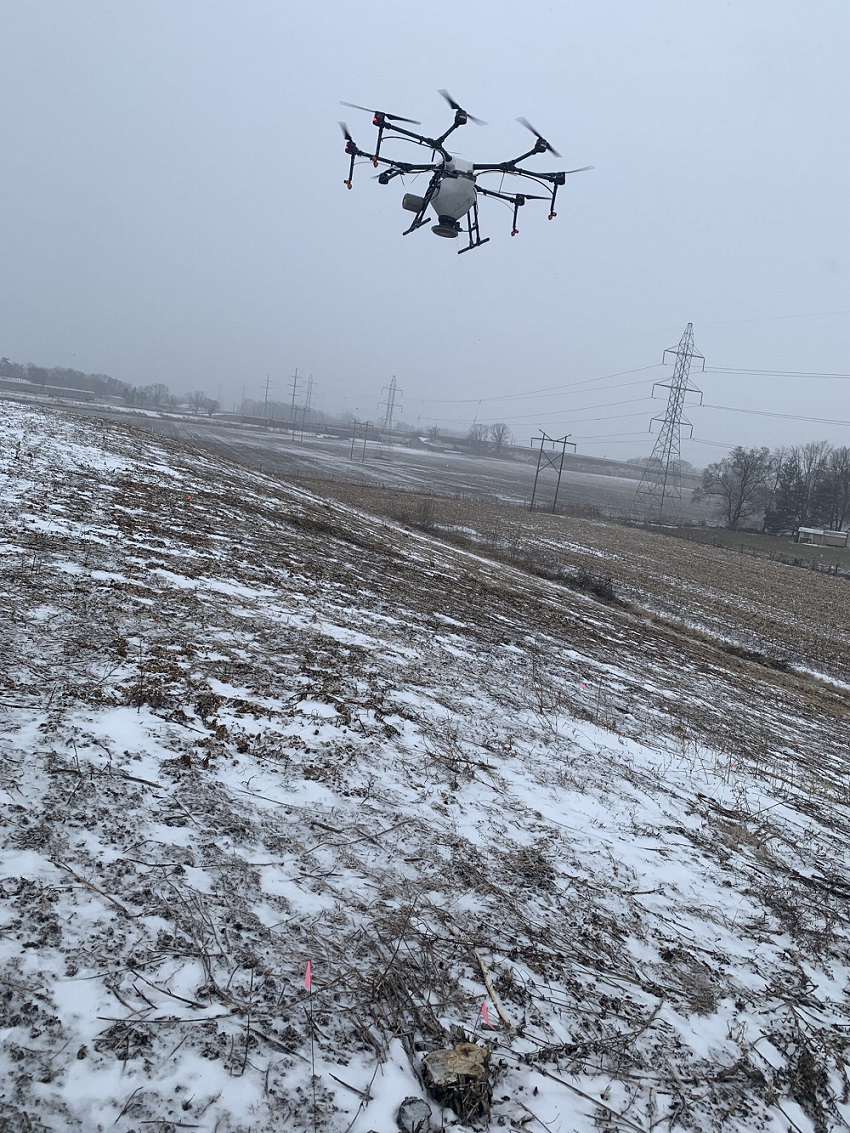
Flown by Phill Woolery, Agriculture & Natural Resource Educator, Purdue Extension – Starke County
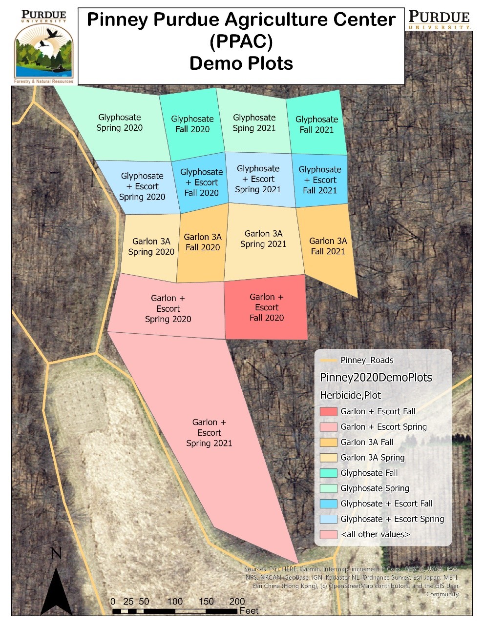
A demonstration trial of methods to control the invasive winged burning bush was conducted in the forest at the Pinney Purdue Ag Center. The treatments consisted of four different herbicides and two different timings of application. The herbicide treatments were glyphosate, glyphosate and metsulfuron-methyl, triclopyr, and triclopyr and metsulfuron-methyl. Metsulfuron-methyl has some soil activity, so there was concern about damage to desirable trees in the forest. The drone was used to monitor damage to the overstory trees.
The forest was flown with both an RGB camera and an infrared camera in August. At the time, some of the plots had had two herbicide treatments.
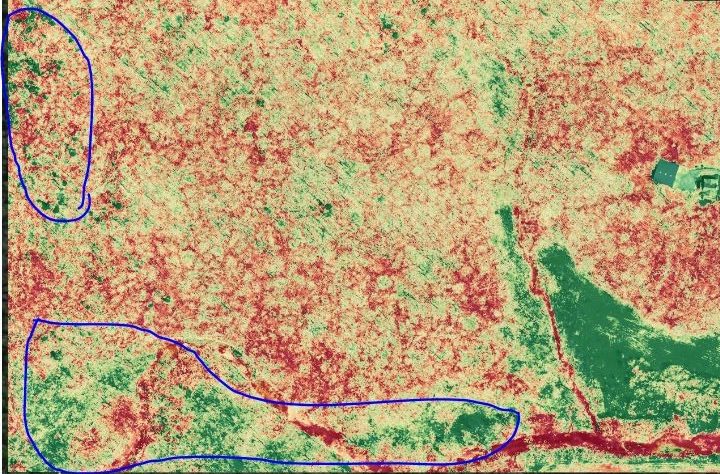
 Using the VARI algorithm, several spots showed up as ...
 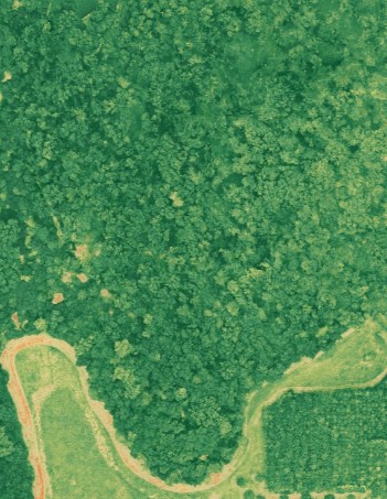 Looking at the NDVI image, things look different.
 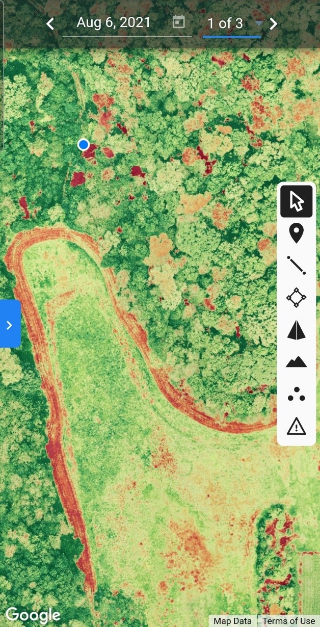 Manual flight shows the trees located in red as dead.
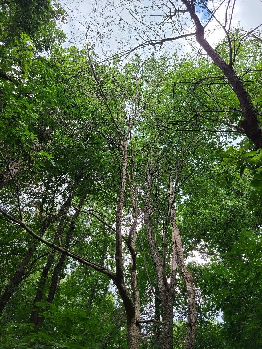
 There were a few trees that showed up as stressed in both sets of imagery. So the pilot checked the area from the ground and through manual, drone flights. On the ground, the pilot found a group of small hackberries that had died. It was from the spring triclopyr and metsulfuron-methyl treatment.
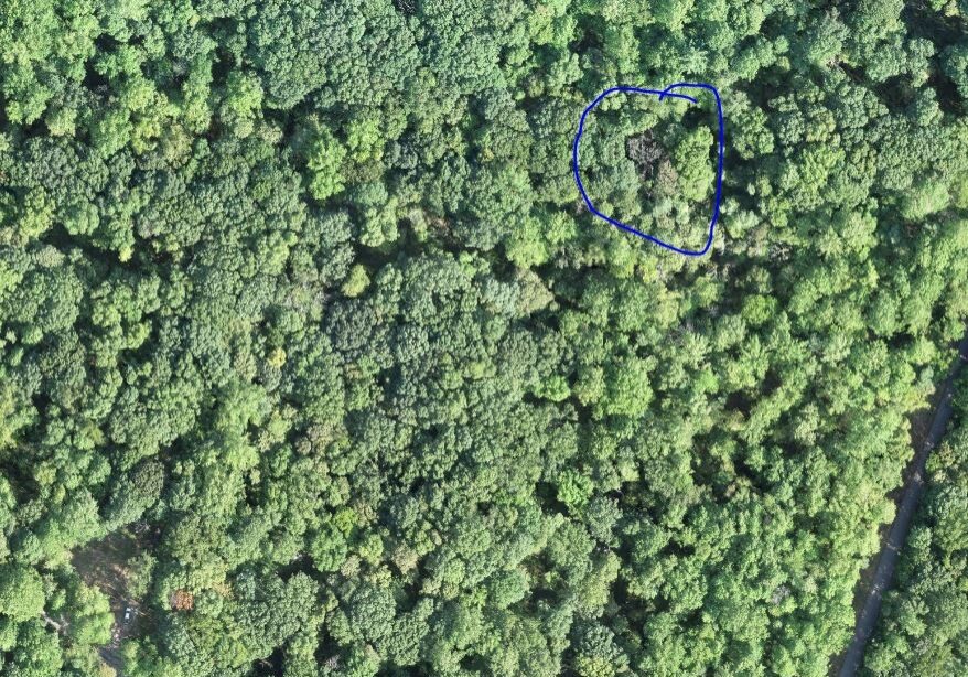
There were burning bush at the base of the trees that had been treated. There was also another dead hackberry in the treatment area. There is not a lot of hackberry on the site, so it was hard to determine whether the tree had a greater dose of the chemicals or if it was just more sensitive to the treatment.
The other stressed trees shown in the VARI imagery were black cherry trees. These did not show up as being stressed in the NDVI image. Using the manual drone flights, the pilot took some closer images of the crowns as well as photos from the ground.
 Hackberry tree
 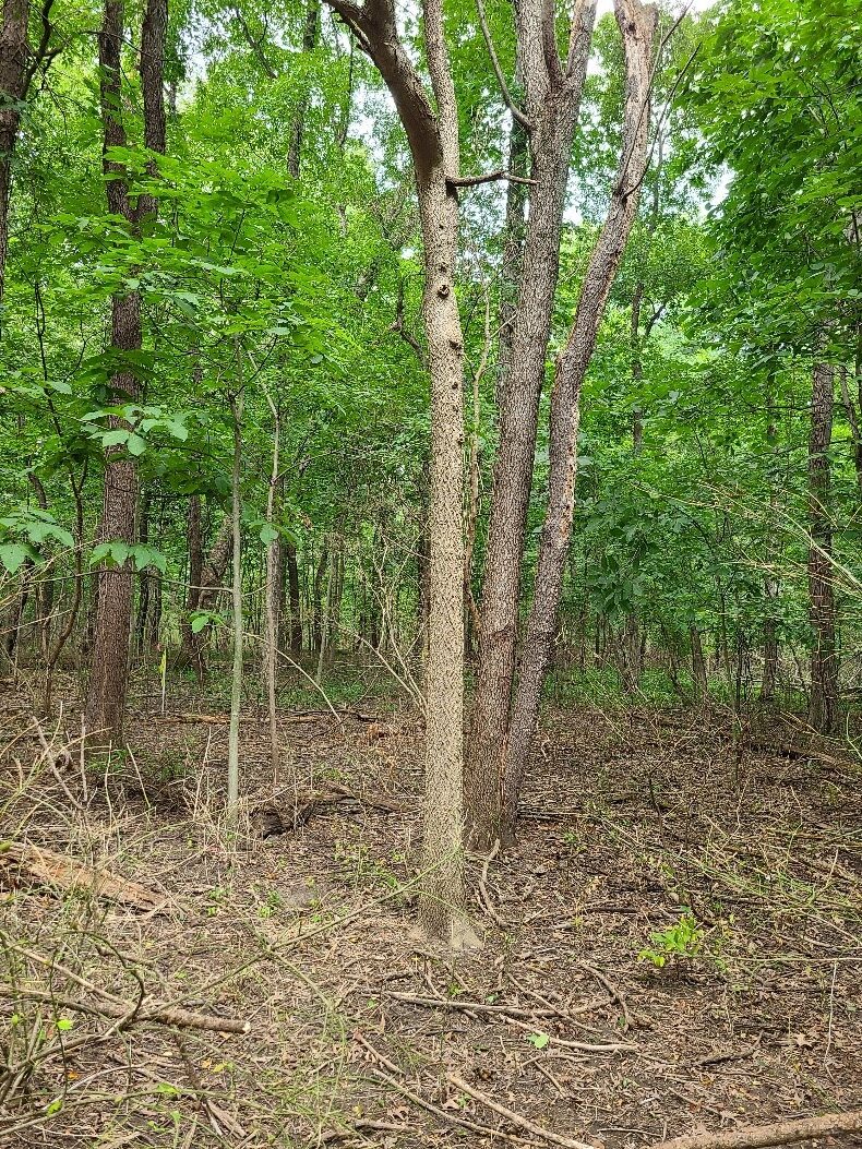 Burning bush
 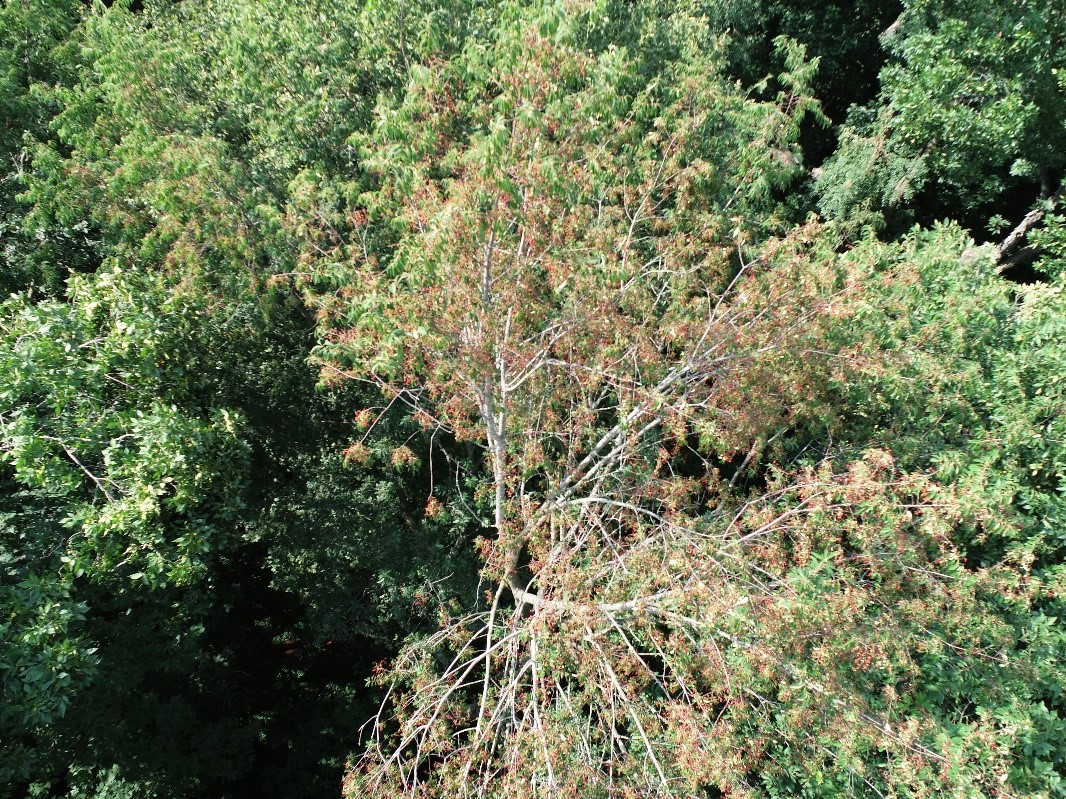 Drone image from the top of the canopy
 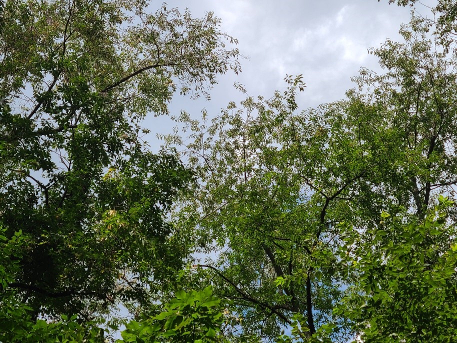 Image from the ground foot of the tree
 Natural Resources Examples
A demonstration trial of methods to control the invasive winged burning bush was conducted in the...
This project was completed at Ivy Tech in Lafayette, Indiana and in collaboration with Ivy Tech...
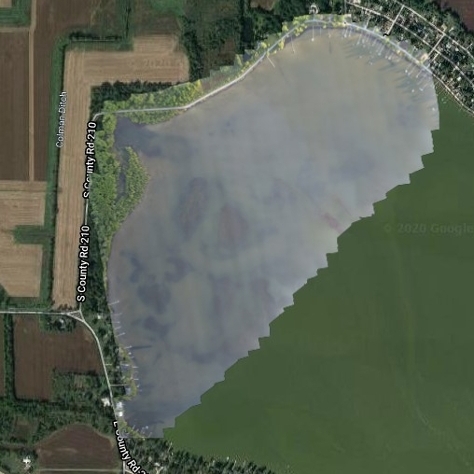
Bass Lake is a 1,345-acre lake in Starke County, Indiana and has problems with invasive Eurasian...
This project was initiated to create a State Parks Virtual Field Trip program, geared for use in...
Common reed (Phragmites australis) is an Indiana native, but invasive, weed. It’s...
UAV use in wooded areas can identify invasive plant species for removal along as well as track...
Invasive species control flights provided wood rating for EQIP application in partnership Ripley...
UAVs were used to locate known trees at Southeast Purdue Agricultural Center (SEPAC) affected by...
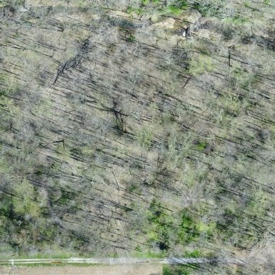
The Emerald Ash Borer killed all dead trees in this orthomosaic image. This woodlot is...
To explore UAV uses in forestry applications, several forests were flown over the course of 2019....