

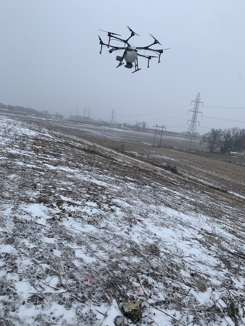
Native seeding with a drone
Flown by John Scott, Purdue Extension Digital Agriculture Coordinator
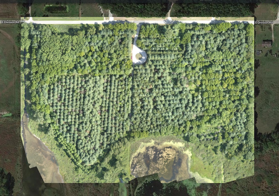
This project was completed at Ivy Tech in Lafayette, Indiana and in collaboration with Ivy Tech agriculture faculty, the Tippecanoe Soil and Water Conservation District, Natural Resources Conservation Service (NRCS), and Purdue’s wildlife extension specialist Jarred Brook.
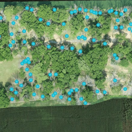
The pilot frost seeded native-type grasses and forbes, mimicking a natural dispersion on a large mound created from the excavation of a retention pond. The mound is approximately four acres and 2-feet tall from base to peak. We used the DJI Agras MG-1P and spread a mixture of native seeds with pelletized lime as a carrier at approximately 50 pounds per acre. This was conducted on January 27 with temperatures in the 20s (Fahrenheit) and a morning snow. After application, the spread was checked by walking across the mound and observing the dispersal pattern in the snow. Extension was pleased to see that the spread pattern was similar to that of seed dispersal observed for fall cover crops.
Natural Resources Examples

A demonstration trial of methods to control the invasive winged burning bush was conducted in the...
This project was completed at Ivy Tech in Lafayette, Indiana and in collaboration with Ivy Tech...
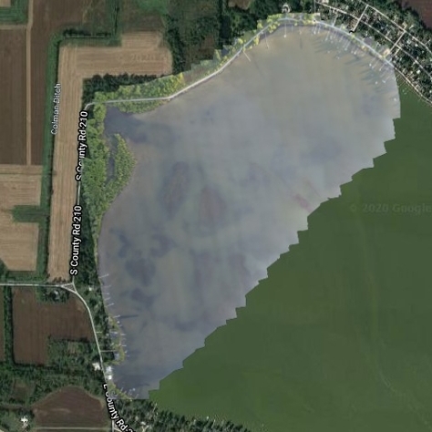
Bass Lake is a 1,345-acre lake in Starke County, Indiana and has problems with invasive Eurasian...
This project was initiated to create a State Parks Virtual Field Trip program, geared for use in...
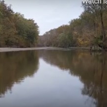
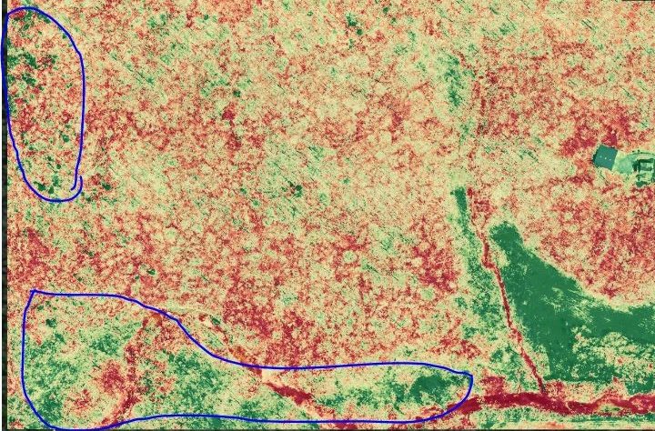
Common reed (Phragmites australis) is an Indiana native, but invasive, weed. It’s...
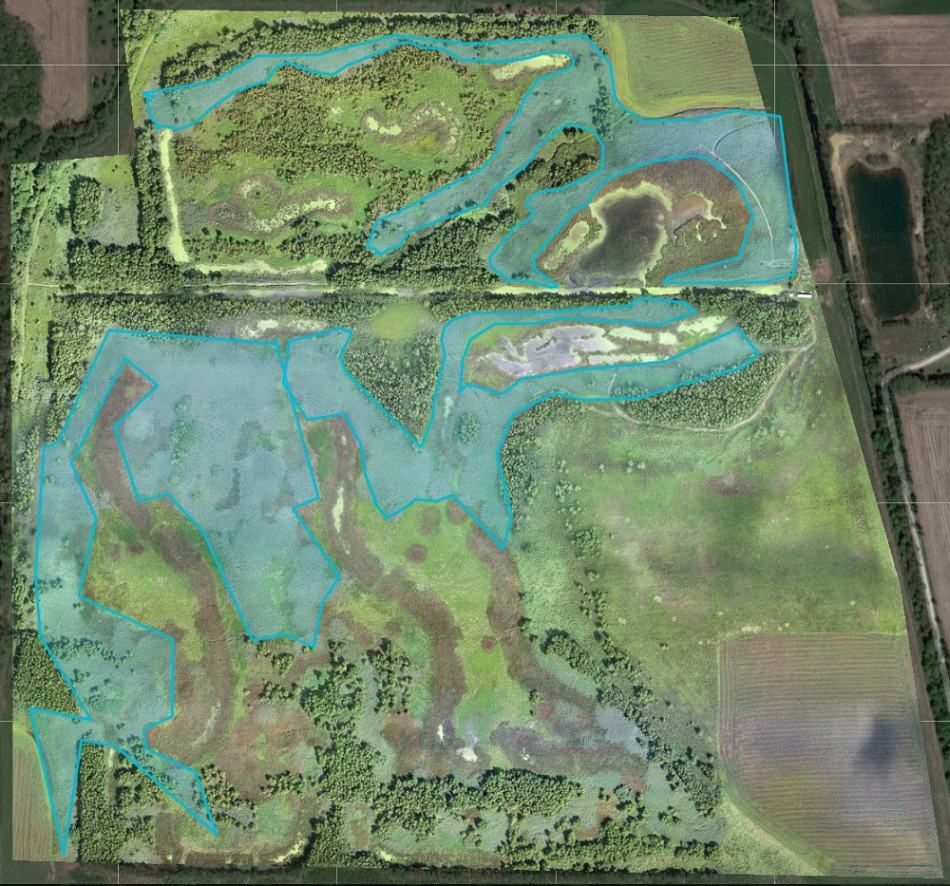
UAV use in wooded areas can identify invasive plant species for removal along as well as track...
Invasive species control flights provided wood rating for EQIP application in partnership Ripley...
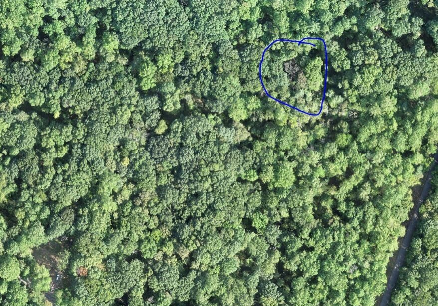
UAVs were used to locate known trees at Southeast Purdue Agricultural Center (SEPAC) affected by...
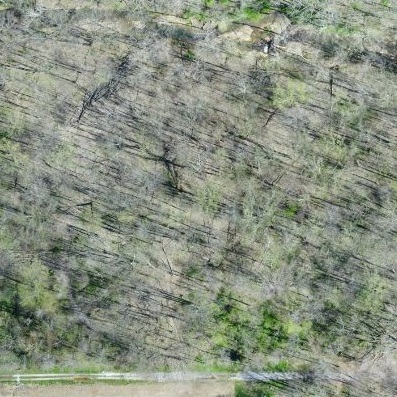
The Emerald Ash Borer killed all dead trees in this orthomosaic image. This woodlot is...
To explore UAV uses in forestry applications, several forests were flown over the course of 2019....