

Weed survey in Bass Lake
Flown by Phill Woolery, Agriculture & Natural Resource Educator, Purdue Extension – Starke County
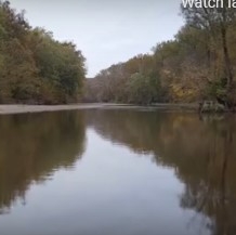
Bass Lake is a 1,345-acre lake in Starke County, Indiana and has problems with invasive Eurasian milfoil (an aquatic weed). Extension conducted a survey of the weeds in a shallow area.
Weed beds were visible in shallow areas, but the pilot encountered significant limitations due to the specific weather conditions needed for data collection -- low winds and an overcast to prevent glare on the water.
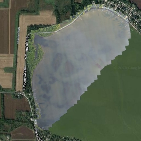 Aerial RBG image of a shallow section of Bass Lake.
 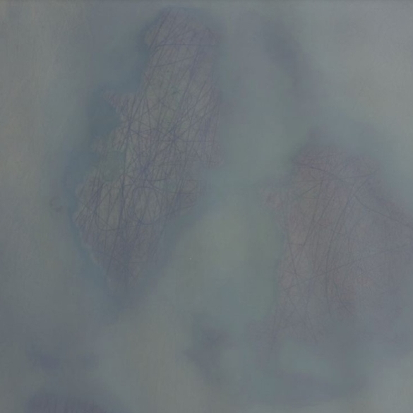 Zoom view of the RBG image of a shallow section of Bass Lake
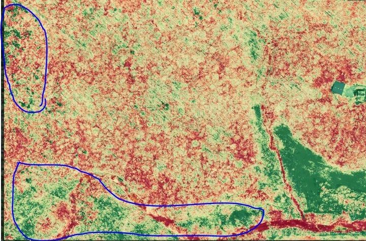
 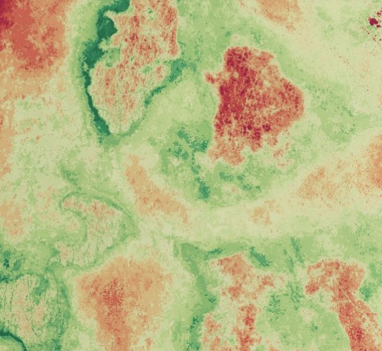 VARI heath image of Bass Lake.
 Natural Resources Examples

A demonstration trial of methods to control the invasive winged burning bush was conducted in the...
This project was completed at Ivy Tech in Lafayette, Indiana and in collaboration with Ivy Tech...
Bass Lake is a 1,345-acre lake in Starke County, Indiana and has problems with invasive Eurasian...
This project was initiated to create a State Parks Virtual Field Trip program, geared for use in...
Common reed (Phragmites australis) is an Indiana native, but invasive, weed. It’s...
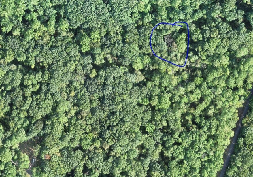
UAV use in wooded areas can identify invasive plant species for removal along as well as track...
Invasive species control flights provided wood rating for EQIP application in partnership Ripley...
UAVs were used to locate known trees at Southeast Purdue Agricultural Center (SEPAC) affected by...
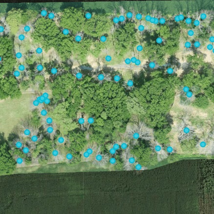
The Emerald Ash Borer killed all dead trees in this orthomosaic image. This woodlot is...
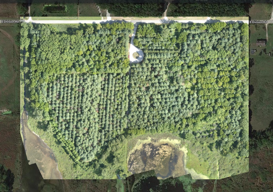
To explore UAV uses in forestry applications, several forests were flown over the course of 2019....