

State Parks Virtual Field Trip program
Ashley Adair, Extension Organic Agriculture Specialist
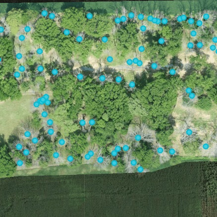
This project was initiated to create a State Parks Virtual Field Trip program, geared for use in fourth, fifth and sixth grade classrooms. The goal is to give students an opportunity to learn about state parks (and address grade-level science standards) when they are unable to leave the classroom. The parks featured are Shades State Park and Turkey Run State Park. Science standards addressed are glaciation, ecological relationships and Indiana history. The tour content will vary depending on which state park is visited as each park has different attributes.
To avoid repetitive content, teachers are encouraged to use all Indiana state parks in their teaching. Aerial imagery can only be collected from Indiana State Parks with a permit, so the drone perspectives have rarely been seen by visitors. They add an aspect of wonderment and provide context to the state parks. For example, some of the aerial imagery collected at Shades State Park shows a stark contrast between nearby farm ground and the park itself. If this pilot program works well, Purdue Extension plans to expand to other state parks around Indiana.
Natural Resources Examples

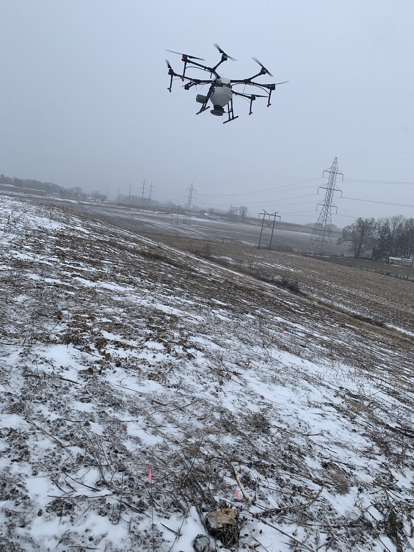
A demonstration trial of methods to control the invasive winged burning bush was conducted in the...
This project was completed at Ivy Tech in Lafayette, Indiana and in collaboration with Ivy Tech...
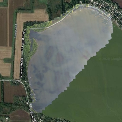
Bass Lake is a 1,345-acre lake in Starke County, Indiana and has problems with invasive Eurasian...
This project was initiated to create a State Parks Virtual Field Trip program, geared for use in...
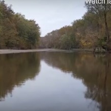
Common reed (Phragmites australis) is an Indiana native, but invasive, weed. It’s...
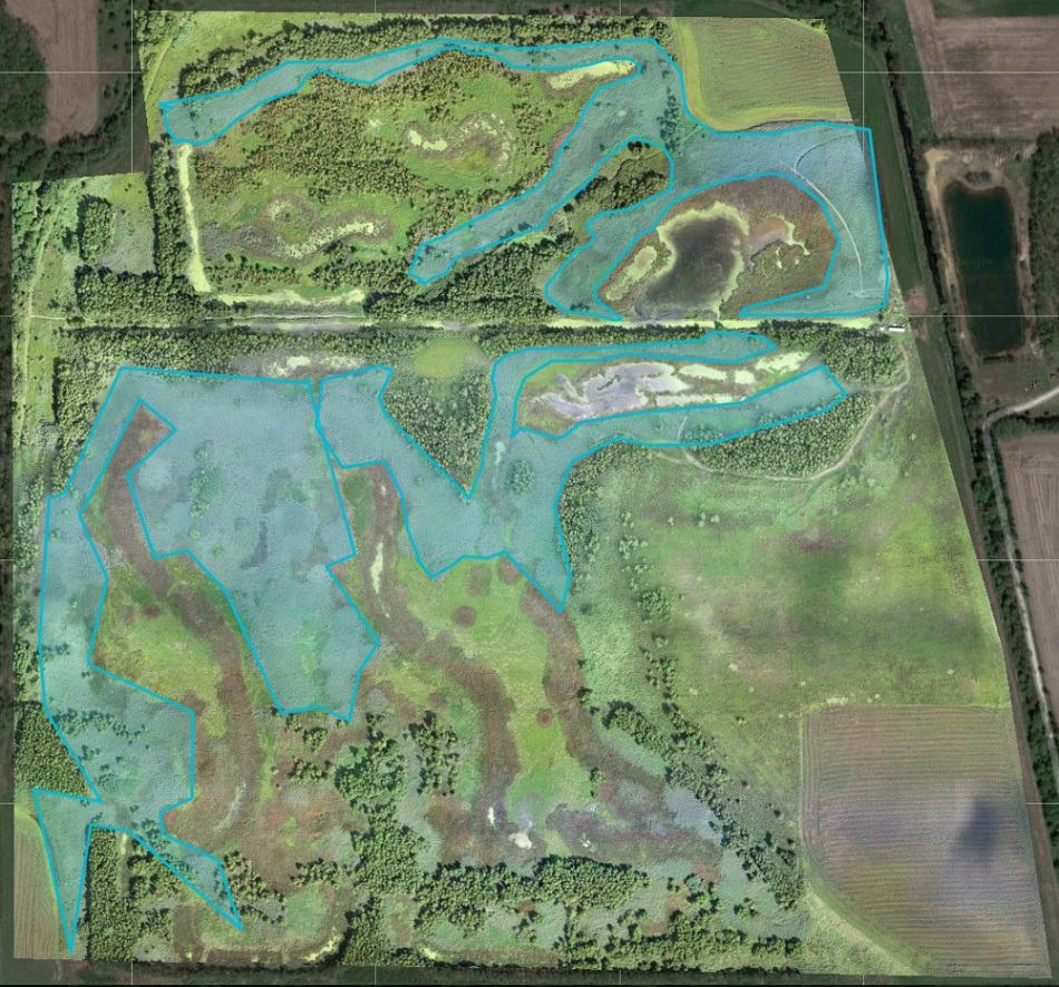
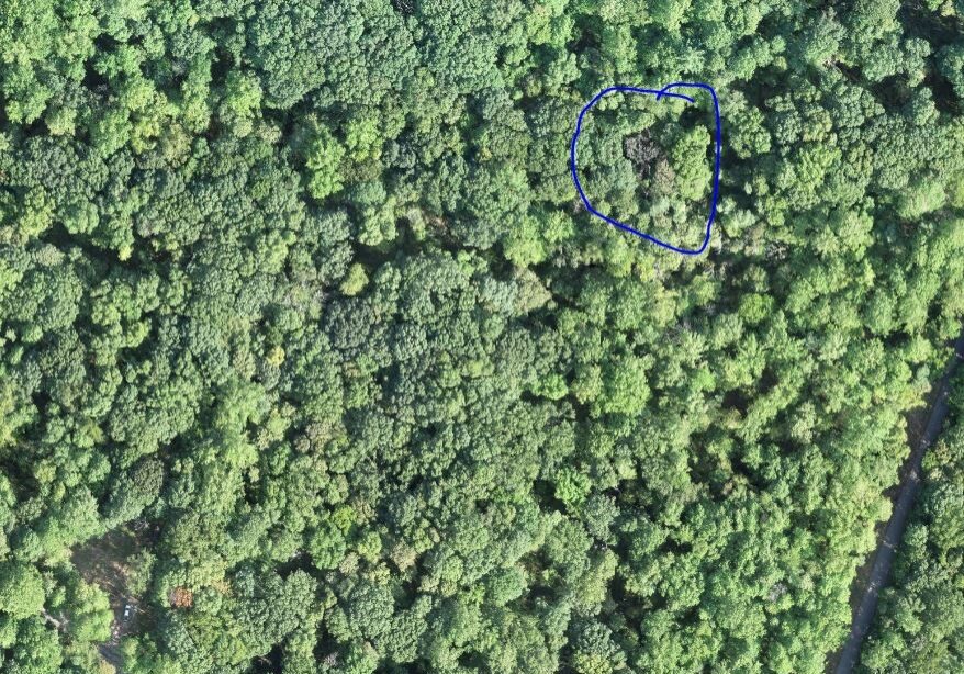
UAV use in wooded areas can identify invasive plant species for removal along as well as track...
Invasive species control flights provided wood rating for EQIP application in partnership Ripley...
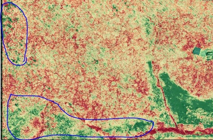
UAVs were used to locate known trees at Southeast Purdue Agricultural Center (SEPAC) affected by...
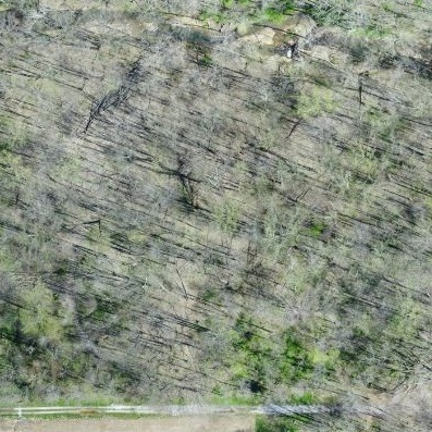
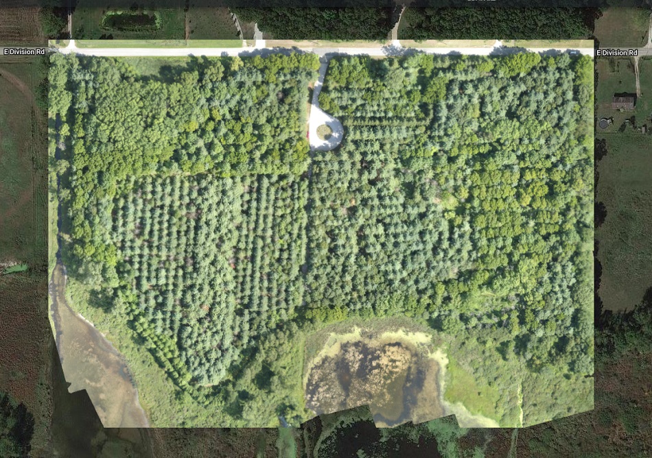
The Emerald Ash Borer killed all dead trees in this orthomosaic image. This woodlot is...
To explore UAV uses in forestry applications, several forests were flown over the course of 2019....