

Invasive weed: common reed
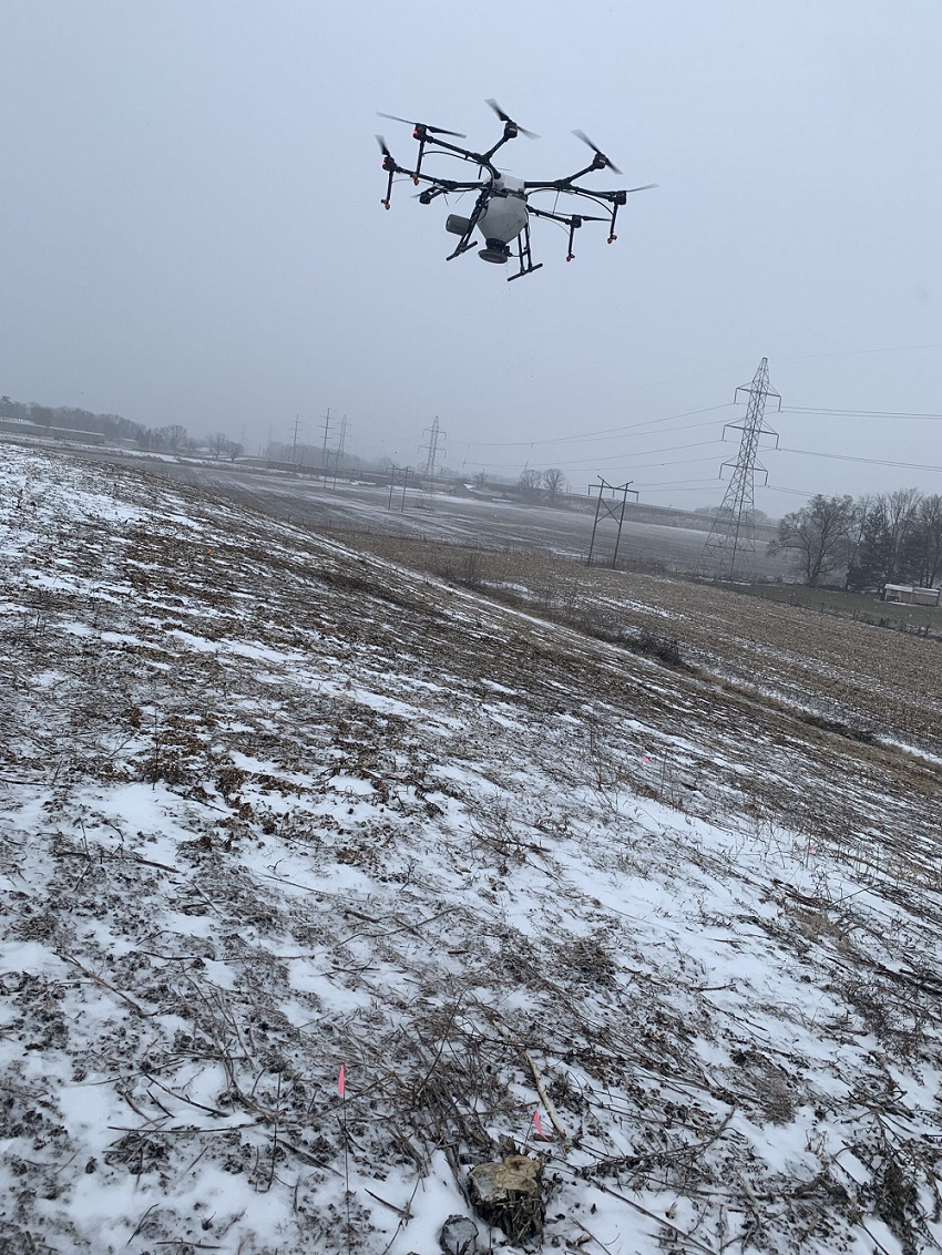
Flown by Bryan Overstreet, Agriculture & Natural Resource Educator, Purdue Extension – Jasper County
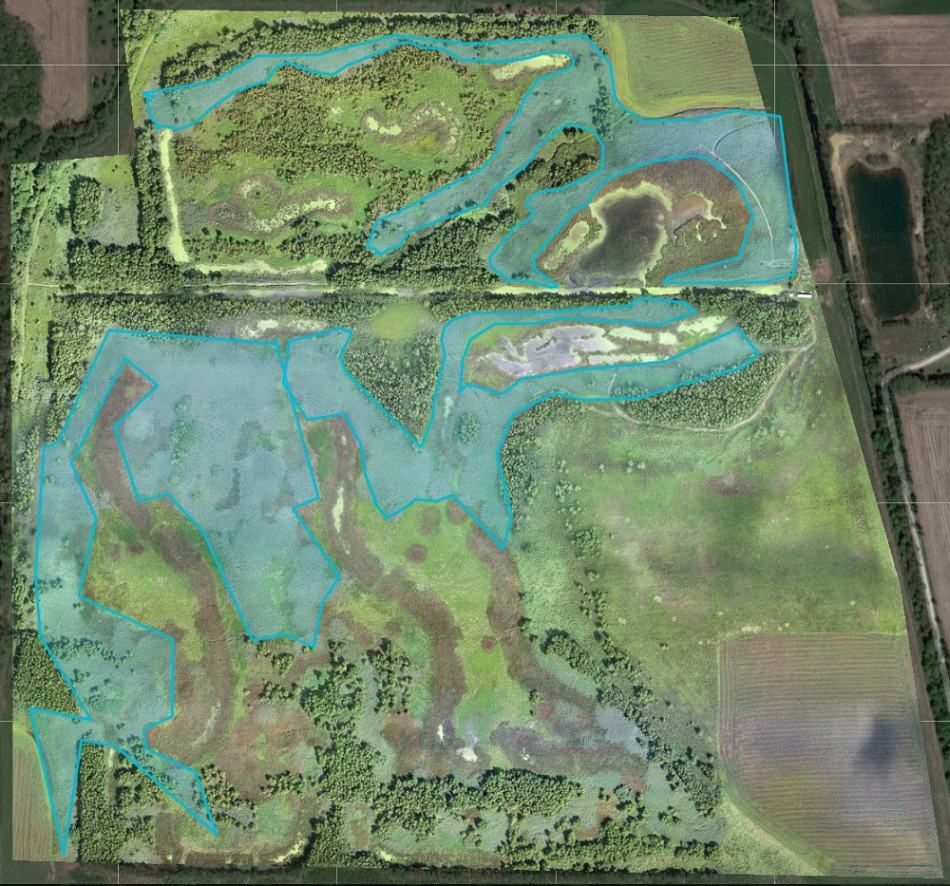
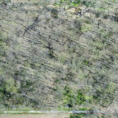
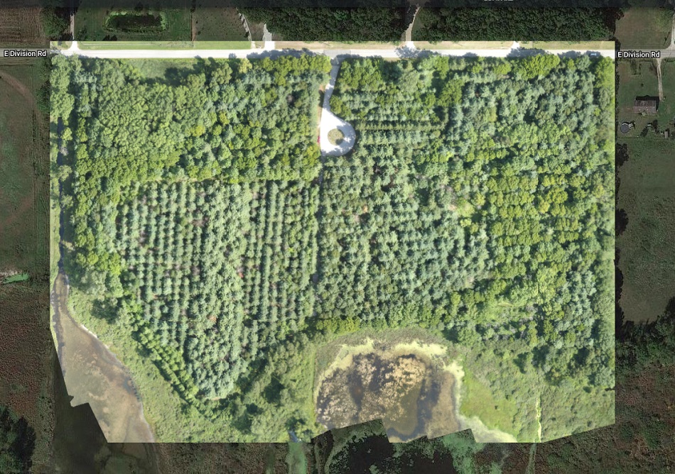
Common reed (Phragmites australis) is an Indiana native, but invasive, weed. It’s especially problematic in natural areas and wetlands where it spreads rapidly, pushing out other native plants. Here we map a wetland to identify and eradicate areas of common reed. A stitched image of the wetland allows conservationists to target the weed, quantify areas of most concern and remove the species.
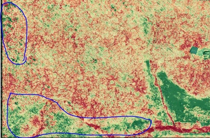
The map on the far right shows the entire 193-acre wetland with the greatest areas of common reed outlined in blue. The invasive weed totals 39.4 acres, which doesn’t include the entire population but helps concentrate on initial removal efforts.
Lighter colored vegetation = Phragmites australis
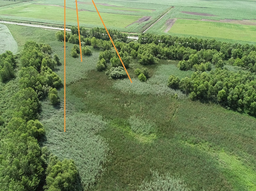
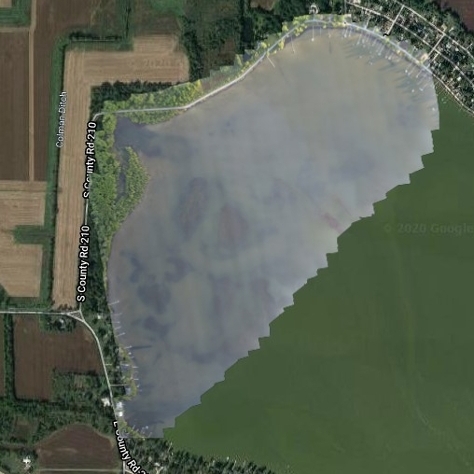
 July, a year following herbicide application
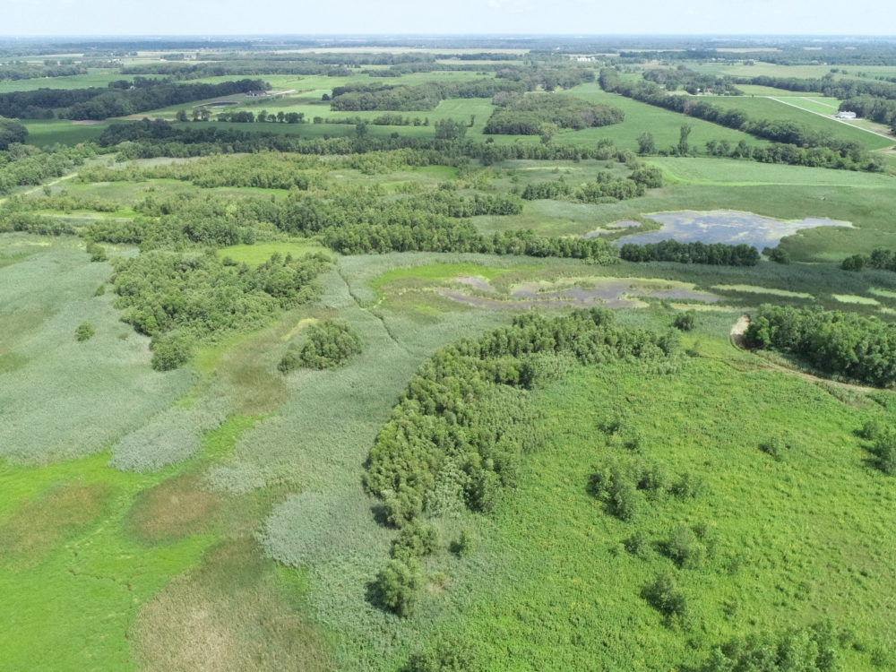
 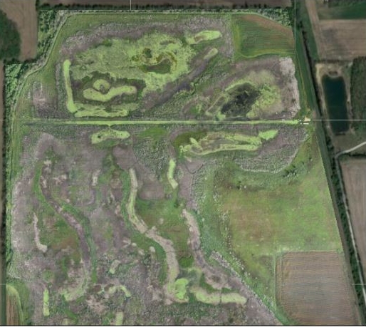 September, a year following herbicide application
 Natural Resources Examples

A demonstration trial of methods to control the invasive winged burning bush was conducted in the...
This project was completed at Ivy Tech in Lafayette, Indiana and in collaboration with Ivy Tech...
Bass Lake is a 1,345-acre lake in Starke County, Indiana and has problems with invasive Eurasian...
This project was initiated to create a State Parks Virtual Field Trip program, geared for use in...
Common reed (Phragmites australis) is an Indiana native, but invasive, weed. It’s...
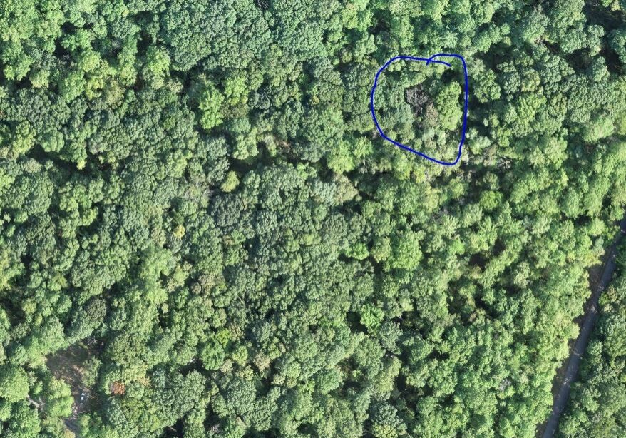
UAV use in wooded areas can identify invasive plant species for removal along as well as track...
Invasive species control flights provided wood rating for EQIP application in partnership Ripley...
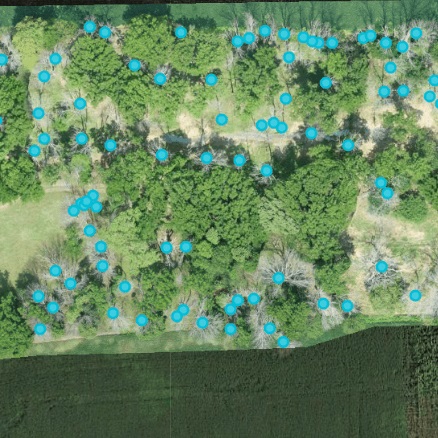
UAVs were used to locate known trees at Southeast Purdue Agricultural Center (SEPAC) affected by...
The Emerald Ash Borer killed all dead trees in this orthomosaic image. This woodlot is...
To explore UAV uses in forestry applications, several forests were flown over the course of 2019....