

Irrigation management
Flown by John Scott, Digital Agriculture Coordinator, Purdue Extension
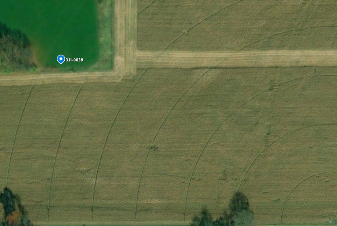
UAVs can serve as a quick method to detect anomalies in irrigation systems, such as this center pivot spanning hundreds of feet. In collaboration with Michigan State Extension, we found one plugged and three malfunctioning nozzles in the line after one pass. All photographs were geotagged, so it’s possible to recheck problem areas later.
We tested the camera angle directly above, to the side and at a 45-degree angle and found:
- The 45-degree angle (50- to 75-feet above take-off elevation) resulted in the best imagery with the most detail for maintenance purposes.
- Water penetration in the canopy and nozzle interaction was best visible at the side angle. However, it was difficult to determine the overall spray pattern and to remain at a consistent distance, putting our UAV at risk.
- It was more difficult to fly and we couldn’t see the entire pattern, even with a wide-angle lens, when directly above the system. Flying at a higher altitude decreased pattern visibility but did capture the entire spray area.
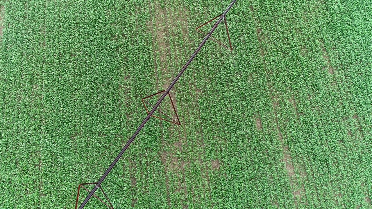
This series of images shows a malfunctioning nozzle by a fast whipping spiral of water. The first image shows the initial detection from a 45-degree angle. The second image is a top view, which shows a better view of the water pattern and a better angle to gather correct coordinates. The third image includes a geotag of the malfunctioning nozzle. Even though the pivot moves, this can be helpful to determine the span of the nozzle.
Flown by Adam Shanks, Agriculture & Natural Resources Educator, Purdue Extension – Clinton County
Video was also collected on a different pivot system in Clinton County, Indiana with different nozzle placement. This video validates that the 45-degree angle view resulted in the best imagery with most detail for maintenance purposes.
Structural Examples
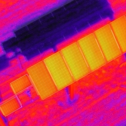
The drone pilot used a thermal camera to check the functionality of the solar panel array...

A local, Jasper County school wanted flights to document infrastructure repairs supported by...
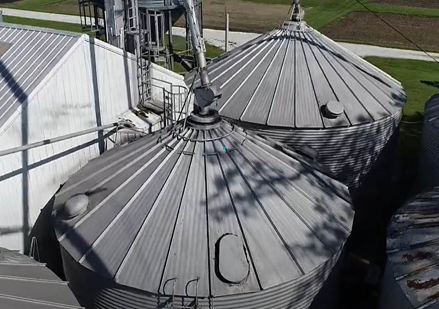
This video was collected to examine an aging grain system and assess what repairs or upgrades...

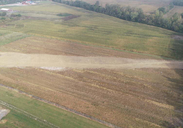
The construction footprint of two newly installed power transmission towers are shown here...
UAVs can serve as a quick method to detect anomalies in irrigation systems, such as this center...
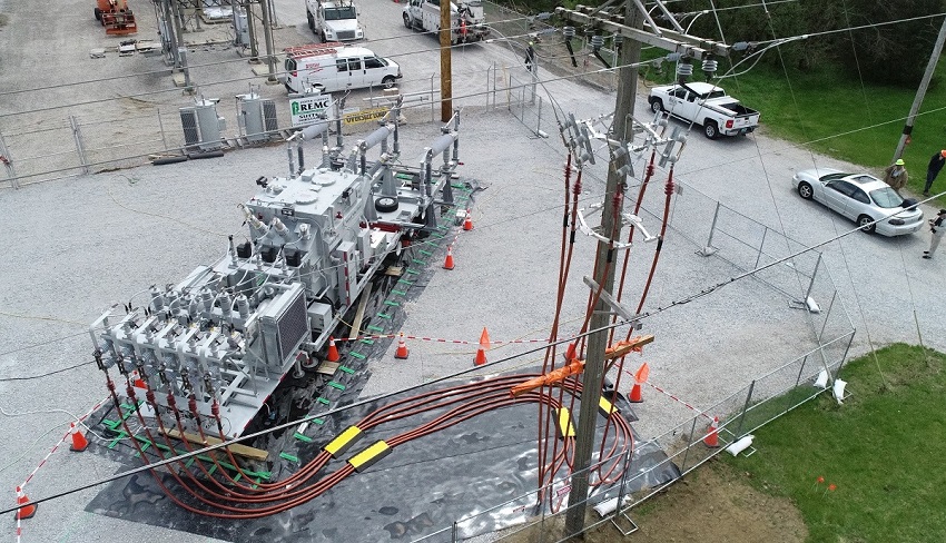
Purdue Extension partnered with Newton County REMC to photograph substation renovation and...
A subsurface concrete drain pipe was installed in 2019 to provide an outlet from a new retention...
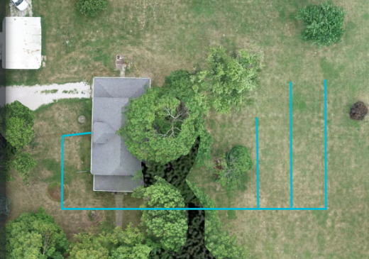
Before the installation of a new septic tank and finger system, this homeowner was curious about...
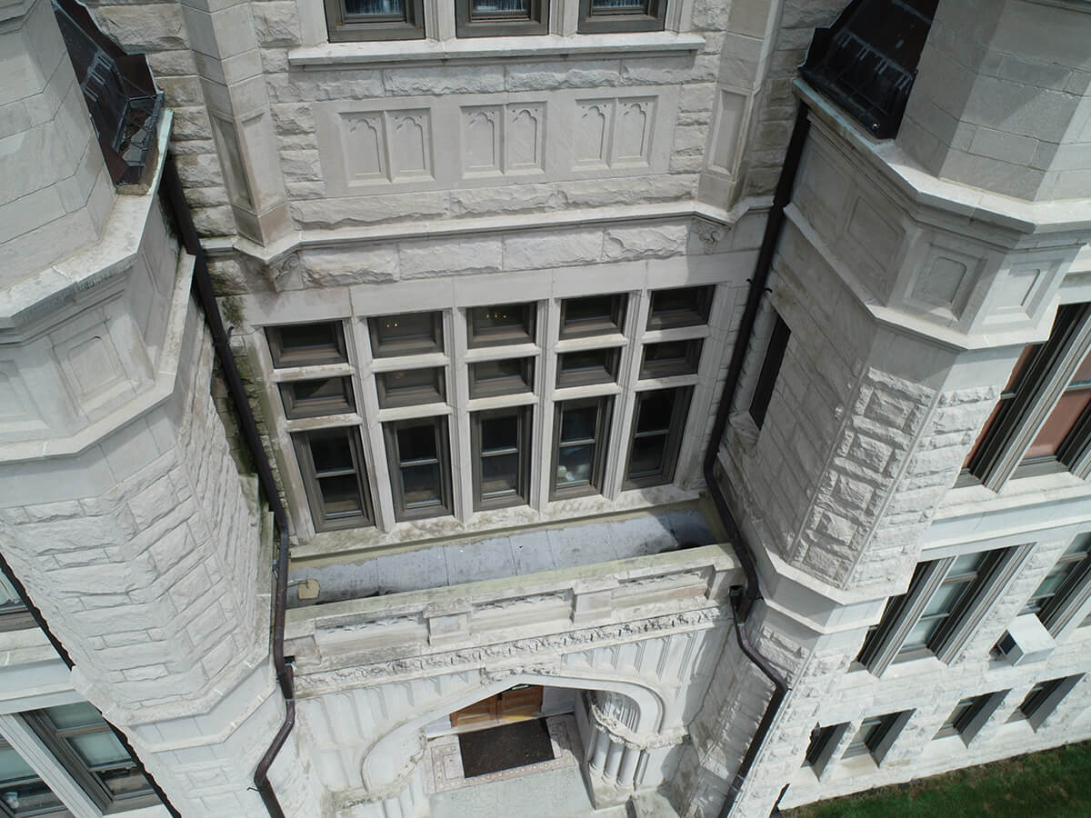
We were able to locate leaky windows on the second floor of this courthouse using a UAV. We found...