

Prevent plant cover crop performance
Flown by Austin Pearson, Agriculture & Natural Resource Educator, Purdue Extension – Tipton County
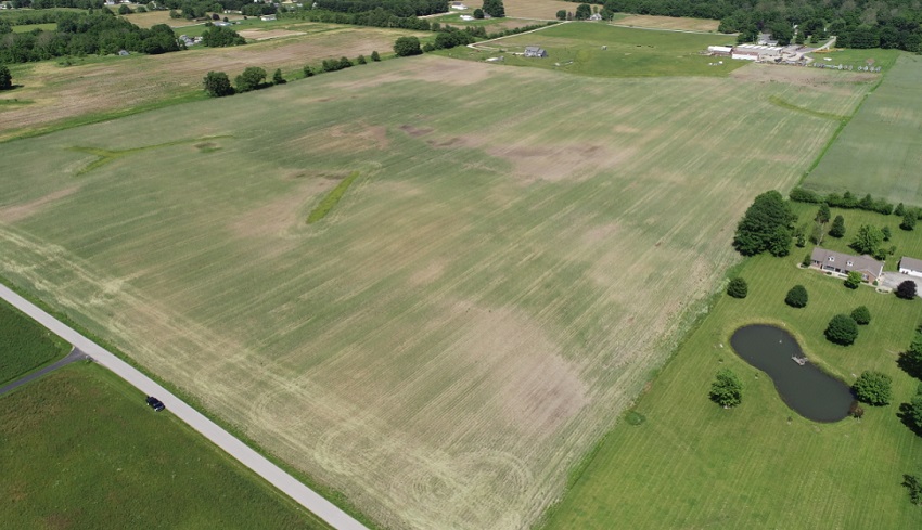
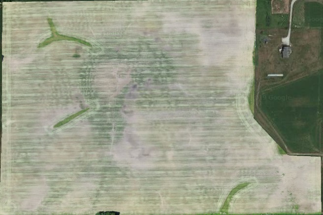
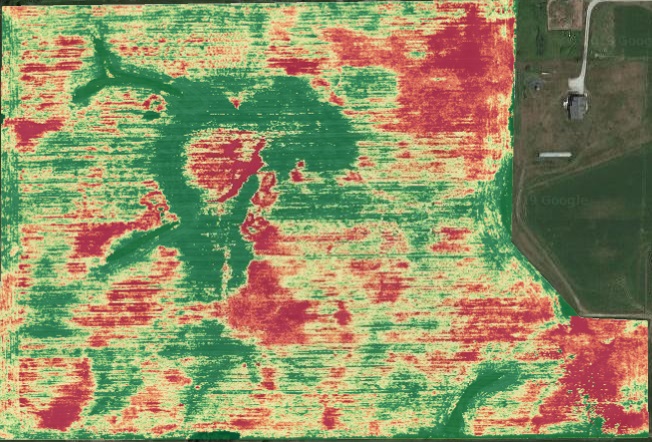
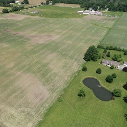
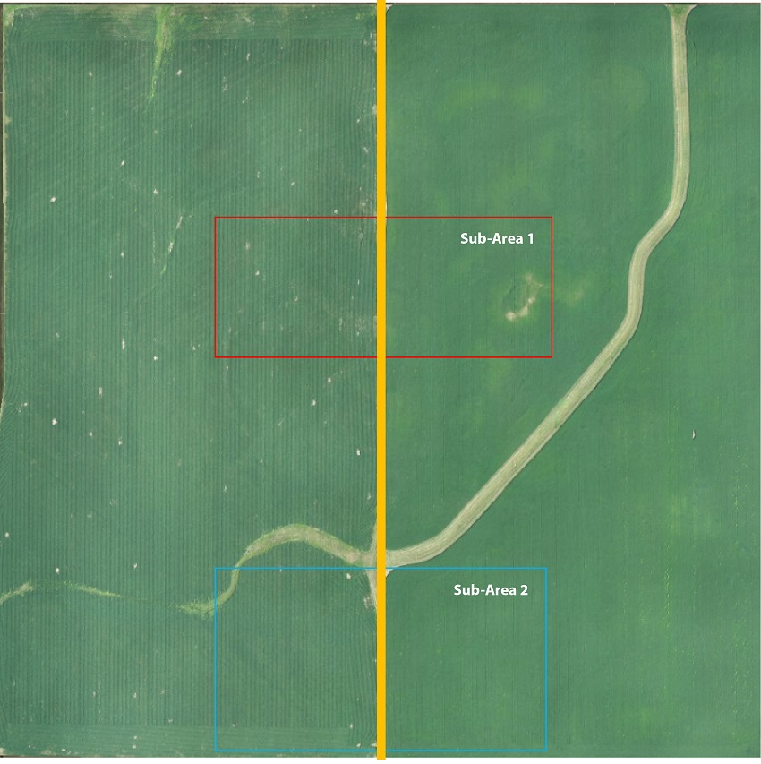
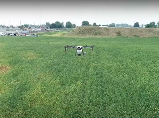
In 2019, this producer took preventative planting due to wet spring conditions. Cereal rye was planted as a cover crop in fall 2018, so the producer decided to map the field for cover crop performance. The maps were also used to plan the installation of subsurface drainage. A still photo for a natural overview.
In-field Conservation Examples
In 2019, this producer took preventative planting due to wet spring conditions...
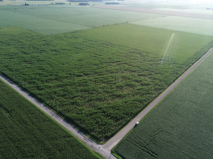
These flights evaluate conventional management with no-till cover crop management...
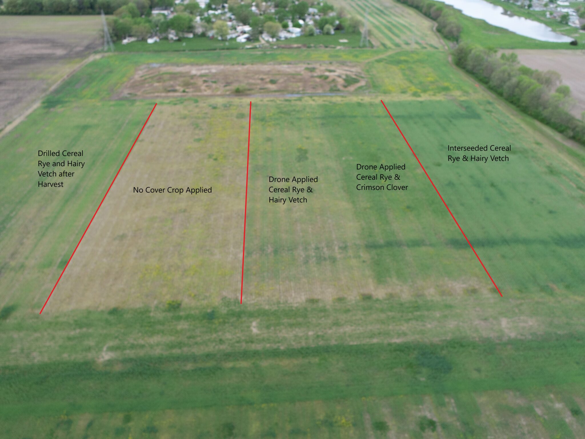
Different cover crop application methods and timing of those applications were evaluated at Ivy...

In addition to the cover crop comparison above, some strips of cereal rye/hairy vetch were...
The map below was created a few days after spring termination of the cover crop. Treatments...
A local producer wanted to interseed cover crops at planting time to maximize benefits and was...
A DJI Agras was used to spread cover crops over standing soybeans. Cover crop mixes varied and...
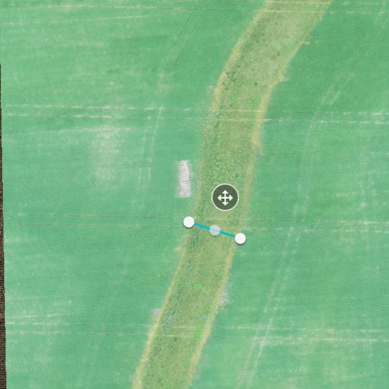
Stitching software can measure the depth of a grassed waterway to determine both water capacity...