

Preliminary cover crop data collection to serve as a performance model
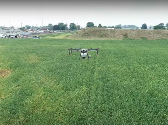
Flown by John Scott, Digital Agriculture Extension Coordinator, Purdue Extension
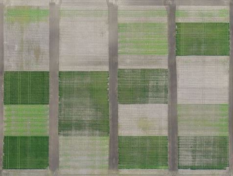
The map below was created a few days after spring termination of the cover crop. Treatments consisted of several different cover crop mixtures, as well as no cover. The field was then planted to corn with different rates of starter, including no starter, and taken to yield. Flights were conducted in the fall and up until late December before resuming in March. By doing this, the cover crop establishment and growth was monitored with the goal to correlate the aerial images with ground-based measurements and create a model for measuring cover crop performance.
In-field Conservation Examples
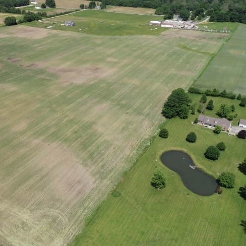
In 2019, this producer took preventative planting due to wet spring conditions...
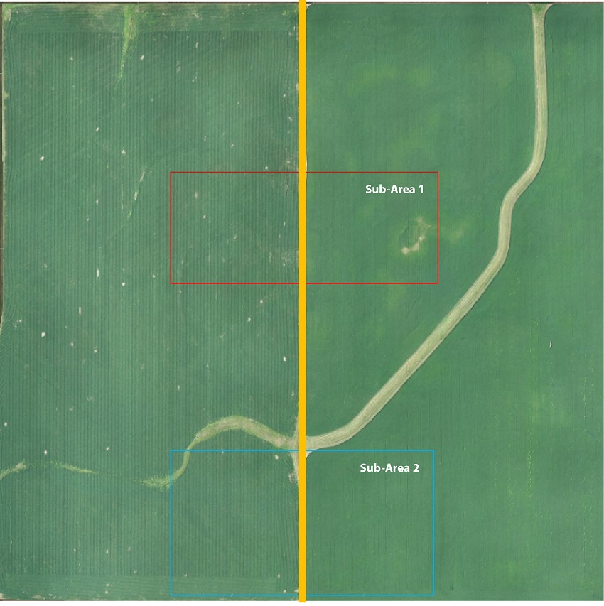
These flights evaluate conventional management with no-till cover crop management...
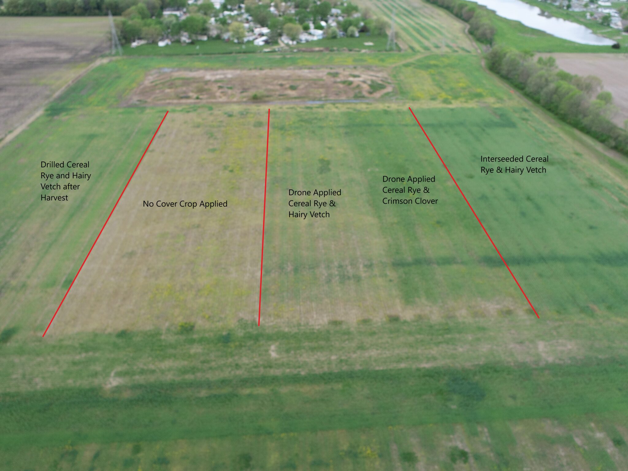
Different cover crop application methods and timing of those applications were evaluated at Ivy...

In addition to the cover crop comparison above, some strips of cereal rye/hairy vetch were...
The map below was created a few days after spring termination of the cover crop. Treatments...
A local producer wanted to interseed cover crops at planting time to maximize benefits and was...
A DJI Agras was used to spread cover crops over standing soybeans. Cover crop mixes varied and...
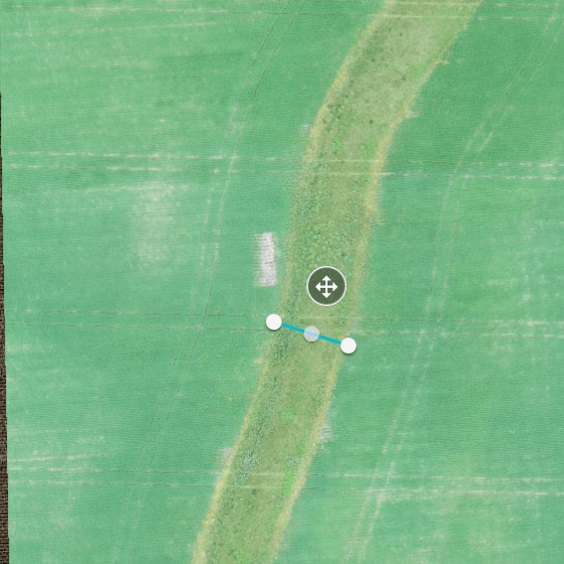
Stitching software can measure the depth of a grassed waterway to determine both water capacity...