

Herd inventory
Flown by John Scott, Digital Agriculture Extension Coordinator, Purdue Extension
We are counting livestock using a stitched image from 300 feet up. On the ground, it is easy to locate animals in the recently grazed paddock (middle) but difficult in the newly opened paddock (right) due to vegetation height. Using this aerial image, we were able to quickly and safely get an entire herd count.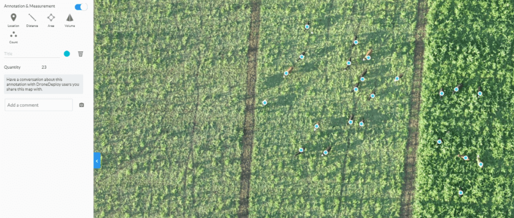
Here we are trying to collect a head count for inventory, but this image shows a major lighting challenge when dealing with structures. In the top image, we can only identify cattle near the feed bunk in the sunlight. The bottom image shows how adjusting exposure in the camera settings lets us see into the shadows. This is an operational call to strike a balance in image quality.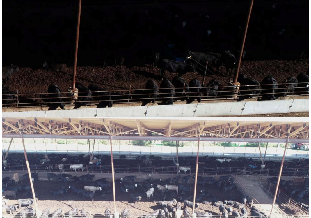
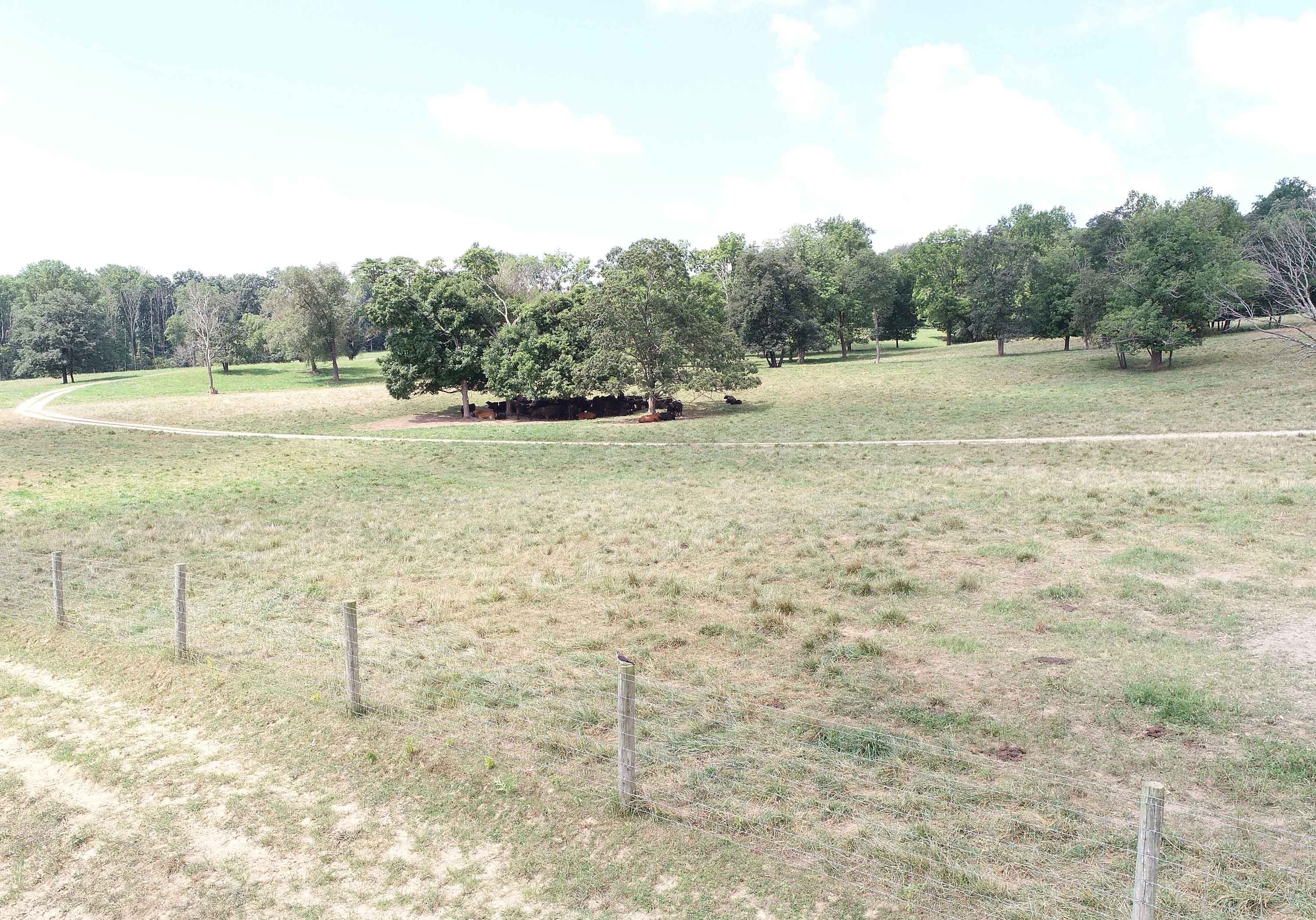
By adjusting camera setting during flight, we quickly located a cow-calf herd in the shade at the Feldun Purdue Agricultural Center. Also located, but not pictured, was a small group of heifers.
Animal Agriculture Examples
During a sorghum feed trial, the researchers were having trouble with the heifers jumping the..
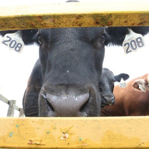
Animal identification is key in keeping good records on livestock. Reading eartags in the pasture..
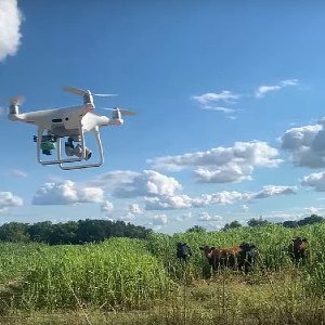
A common concern when working with UAVs around livestock is whether or not the animals will be...
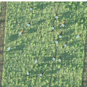
We are counting livestock using a stitched image from 300 feet up...
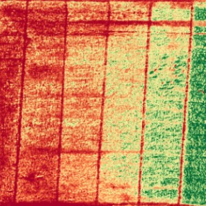
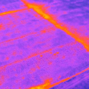
A stitched plant-health map of cover crops shows a grazing gradient where patterns are starting...
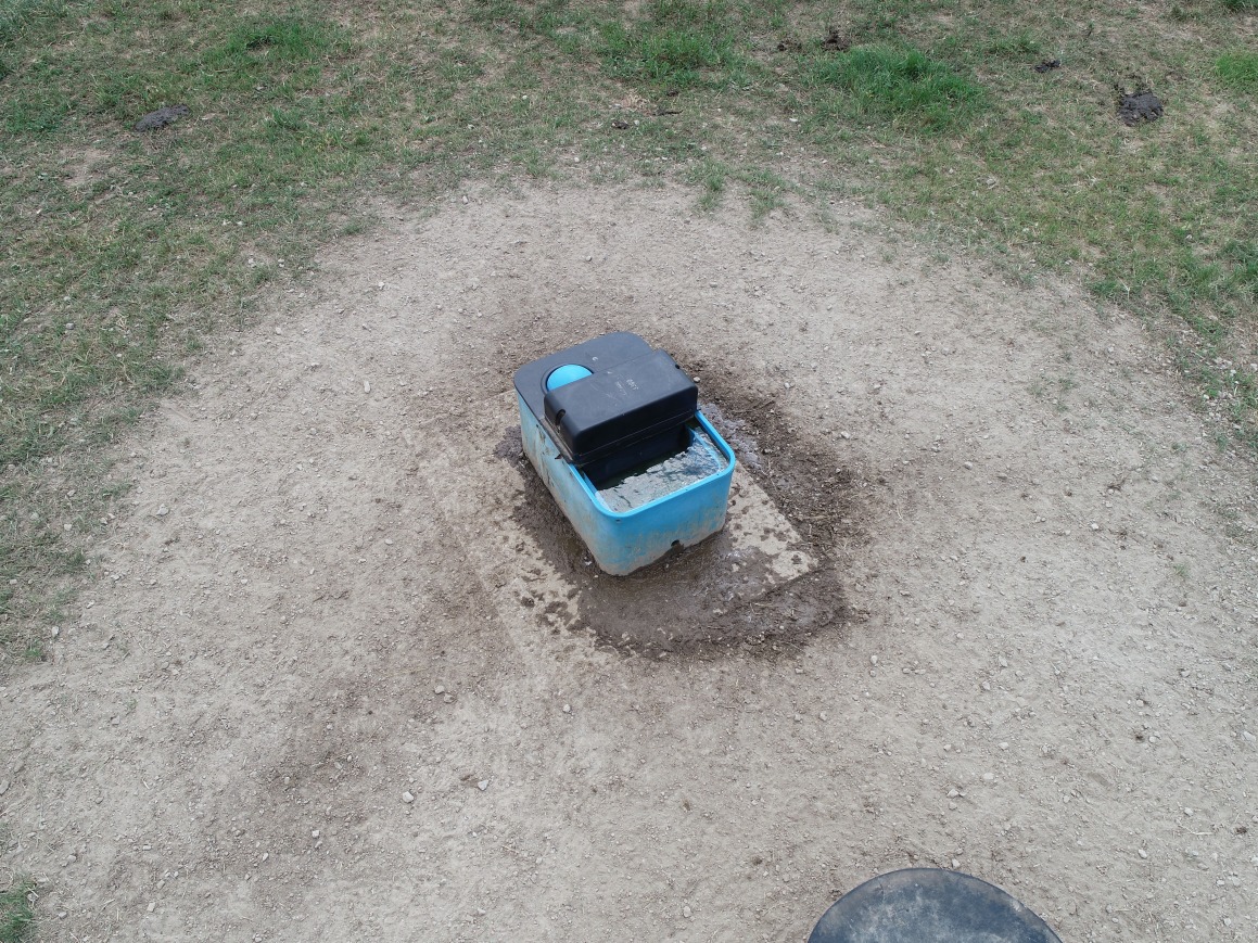
Checking this automatic water device by UAV allows a farm manager to remotely and quickly...
the bank, but an aerial view can give the operator a new perspective.
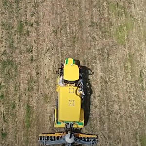
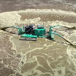
Video was collected from above, behind and to the side of each spreader which allows you to see...
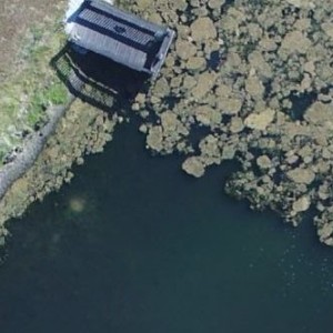
You can see reduced algae cover from spring to late summer shows as the pond appears clearer.