

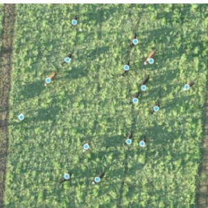
Grazing patterns
Flown by John Scott, Digital Agriculture Extension Coordinator, and Dave Osborne, Agriculture & Natural Resources Educator, Purdue Extension
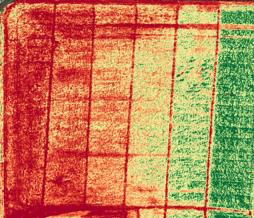
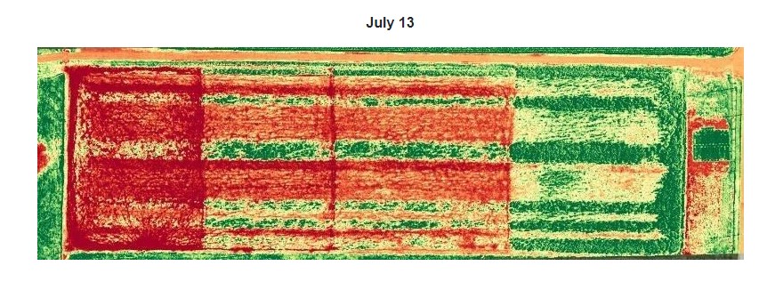
A stitched plant-health map of cover crops shows a grazing gradient where patterns are starting to emerge. Animals were first released into the left paddock, and every day, a new paddock was made available. It is possible to see variation in the new cover-crop forage, most likely due to management practices.
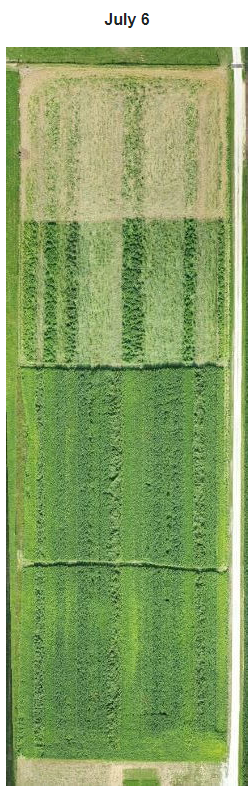
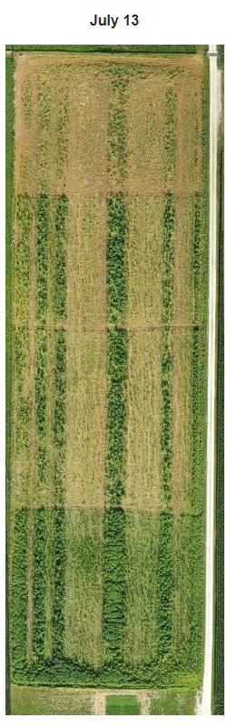
In the images below, different forages were planted and cattle released for grazing on July 2 — with new paddocks becoming available through July 9. No back fencing was used, and by July 9, cattle had access to the entire pasture.
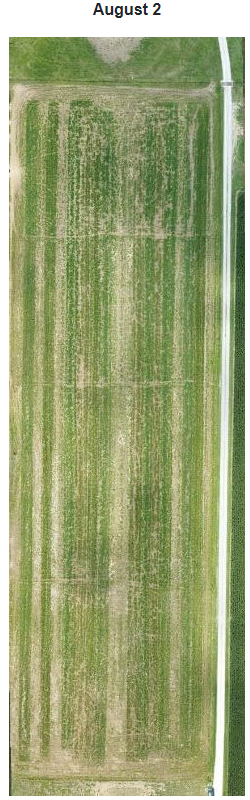
The first three images were stitched into a geometrically correct and detailed map — also known as an orthomosaic — to show preference for certain forages. Once cattle depleted preferred stock, they switched to less-desirable forage (Aug 2).
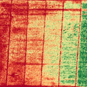
The plant health image below highlights the difference in cattle forage selections. Although green is a positive representation in most scenarios of remote sensing, it is the less-desired forage in this instance. Green indicates forages not consumed, designating inefficient feed sources.
Animal Agriculture Examples
During a sorghum feed trial, the researchers were having trouble with the heifers jumping the..
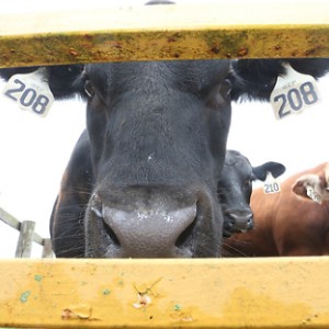
Animal identification is key in keeping good records on livestock. Reading eartags in the pasture..
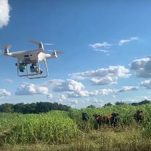
A common concern when working with UAVs around livestock is whether or not the animals will be...
We are counting livestock using a stitched image from 300 feet up...
A stitched plant-health map of cover crops shows a grazing gradient where patterns are starting...
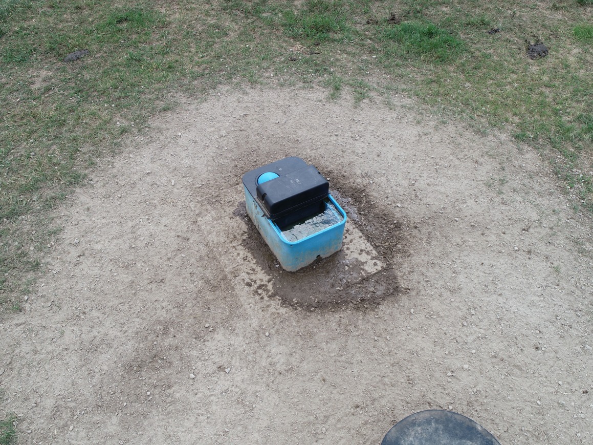
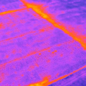
Checking this automatic water device by UAV allows a farm manager to remotely and quickly...
the bank, but an aerial view can give the operator a new perspective.
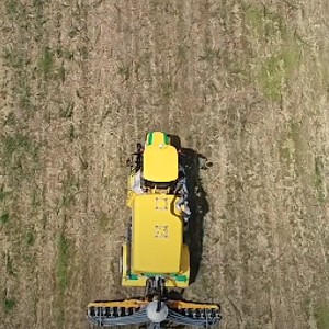
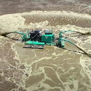
Video was collected from above, behind and to the side of each spreader which allows you to see...
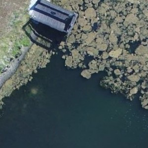
You can see reduced algae cover from spring to late summer shows as the pond appears clearer.