Residential yard
Images collected by John Scott, Digital Agriculture Extension Coordinator, Purdue Extension
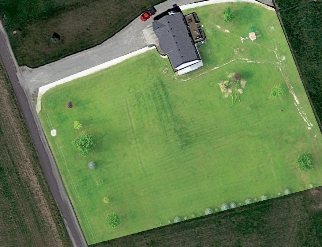
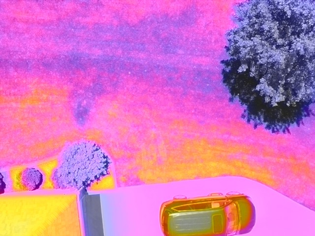
This stitched map was taken to observe turf and tree health. It was possible to see turf around trees that are struggling. This could have been due to competition for sunlight or water. It is also possible to locate the septic finger system, tile lines and “fairy rings.” The first image shows the lawn prior to mowing and the second image after mowing. Light intensity of each photo is also different, probably due to the time of day for flight. We could still identify the septic and tile lines in the second image; however, mowing eliminated some of the fine details.

